Water highlights

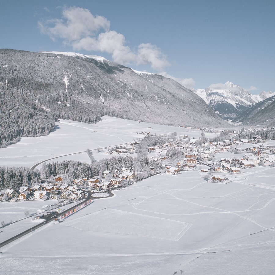
Entry point to the Antholz valley
Niederrasen, or Rasun di Sotto as it is called in Italian, is the first town of the Antholz valley that also forms a picturesque entrance to the unspoilt landscape of the blue vale. Its strategic location, at an altitude of approx. 1,030 m and only 5 km from the Kronplatz/Plan de Corones ski area, turns the town into an ideal starting point for nature lovers and active holidaymakers who can look forward to countless hiking and cycling adventures throughout the valley and the surrounding mountains of the Rieserferner-Ahrn Nature Park – all year round.
Highlights
Whilst recreation seekers and families can enjoy both leisure activities and moments of relaxation in the leisure park of Niederrasen and Wasserwaldile water adventure park, culture enthusiasts should not miss out on visiting the nearby ruins of the Altrasen castle. Traditional events such as the “Bartholomäusmarkt”, “Kirchtag” and “Christmas in the Park” invite you to live the customs, traditions and culinary specialities of the valley up close.
Map of Niederrasen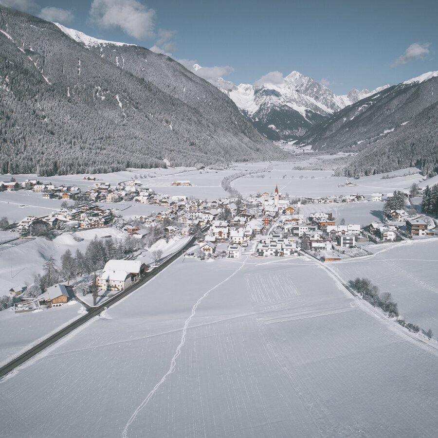
Set out for outdoor adventures
With its typical farmsteads, historic manors and the quaint Antholz stream flowing gently across the village, Oberrasen/Rasun di Sopra, which is situated only 1 km from the valley’s main locality Niederrasen, represents an idyllic retreat for all those seeking peace, quiet and the splendour of nature. Just as Niederrasen, this town is likewise located at the entrance to the Antholz, offering impressive nature experiences in the blue valley, Pustertal valley and its other side vales. Some of the activities you should make sure to enjoy in summer is a leisurely hike, an alpine tour to the mountains called Hochnall/Monte Nalle, Rammelstein/Montone, Lutterkopf/Monte Luta and the Hochrautalm alpine hut as well as a bike tour leading to Antholz Niedertal along the river. Winter, on the other hand, awaits you with the easy “Sonnenloipe” cross-country ski trail, which starts at the cultural centre – that also features a playground for your little ones – and takes you on a 7-kilometre-long route to Antholz Niedertal.
Highlights
In addition to the ruins of the Neurasen castle, you will find a very special spot: the Rasner Möser Biotope. The 23-hectare wetland and largest moorland of South Tyrol, awaits curious visitors with unique species such as the purple marshlock, alpine newt or the carnivorous drosera which is rarely found in Italy’s northernmost region.
Map of Oberrasen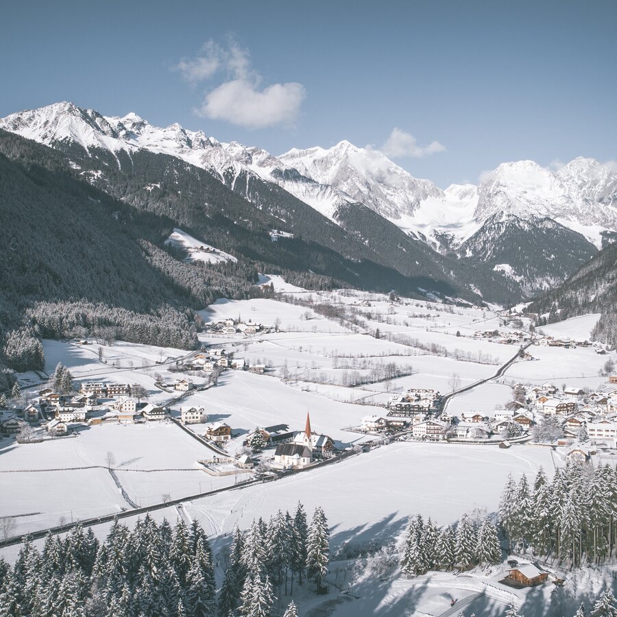
In between idyll and adrenaline
The peaceful village of Antholz Niedertal, or Anterselva di Sotto in Italian, is located at an altitude of 1,100 metres, 6 km into the Antholz valley. Surrounded by lush green meadows, deep green coniferous forests and the imposing peaks of the Rieserferner Group, each season promises to witness unforgettable moments in nature. Whether on foot, by bike or on cross-country skis - the possibilities are endless!
Highlights
From climbing to mtb acrobats: Antholz Niedertal boasts activities for thrill-seekers of all ages. While you can satisfy your desire for unique exploits in the climbing garden along 26 varied routes, there are also 4 fast-paced bike trails in the MTB area. Both are situated very close to the fishing pond, a place to unwind and go fishing.
Map of Antholz Niedertal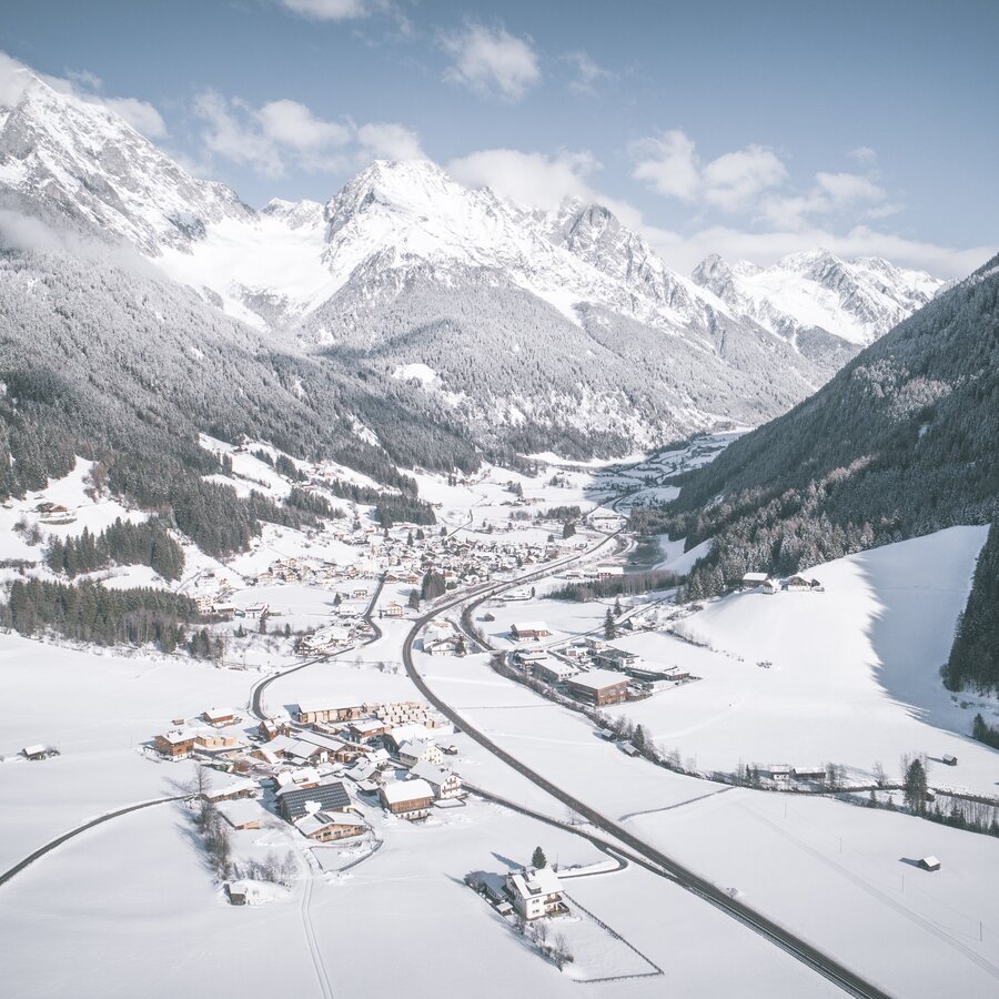
A place of rushing encounters
With a population of somewhat over 700, Antholz Mittertal is the second largest town in the blue valley after Niederrasen. Set at an altitude of 1,250 metres and surrounded by the impressive backdrop of the Rieserferner Group, it is a great starting point for strolls, alpine hikes, mountaineering as well as bike tours along the Antholz cycle route, which leads back to the entrance of the Antholz valley. From Antholz Mittertal, you can even reach the lake called Lake Antholz and the Staller Sattel mountain pass on foot, by taking the hiking trail that runs along both sides of the valley. Treat yourself to captivating moments in the unspoilt nature of the Rieserferner-Ahrn Nature Park, both in summer and winter.
Highlights
Set off on a discovery tour to the impressive waterfalls of the blue valley, nestled in the dense green forest of the Rieserferner-Ahrn Nature Park: the Klammbach and Egger waterfalls. In winter, you can also look forward to skiing and snow fun for the entire family in the small Riepenlift ski area, which is just 1.5 kilometres from Antholz Mittertal. You can also head out on cross-country skiing tours leading towards the entrance of the vale or the biathlon stadium on the slope called “Talloipe”, which passes by the town on a trail of natural snow.
Map of Antholz Mittertal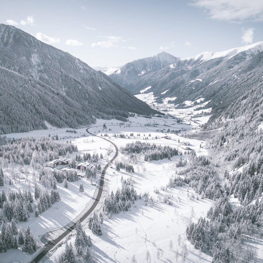
Amidst natural jewels and biathlon thrills
The last village of the Antholz valley is located at an altitude of 1,530 metres: Antholz Obertal/Anterselva di Sopra. A scattered settlement, composed of several farmsteads and houses, that stretches from Antholz Mittertal to the enchanting lake called Lake Antholz. A rural landscape that entices you to enjoy its natural settings with every breath and experience the blossoming spring scenery, fresh summer mountain air or golden autumn backdrop on beautiful strolls, hikes and mountaineering tours. Winter, on the other hand, offers memorable cross-country skiing tours, ski tours, snowshoe hikes and toboggan races across its peaceful, glistening white wonderland.
Highlights
First and foremost: the turquoise-green gem, the Antholzer See lake - a gorgeous destination for families, nature lovers and outdoor enthusiasts. The nature trail that runs alongside the lake also invites you to learn more about the local flora and fauna. Beyond sharing the thrills: the world-famous biathlon & cross-country skiing centre Südtirol Arena Alto Adige boasts 20 kilometres of cross-country trails for enthusiasts of all ages. Last but not least: the Staller Saddle mountain pass ensures cross-border adventures at an altitude of 2,050 metres. Explore the Rieserferner-Ahrn Nature Park, Hohe Tauern National Park and the Obersee lake in the Austrian valley called Defereggental along fascinating hiking trails and high alpine routes.
Map of Antholz Obertal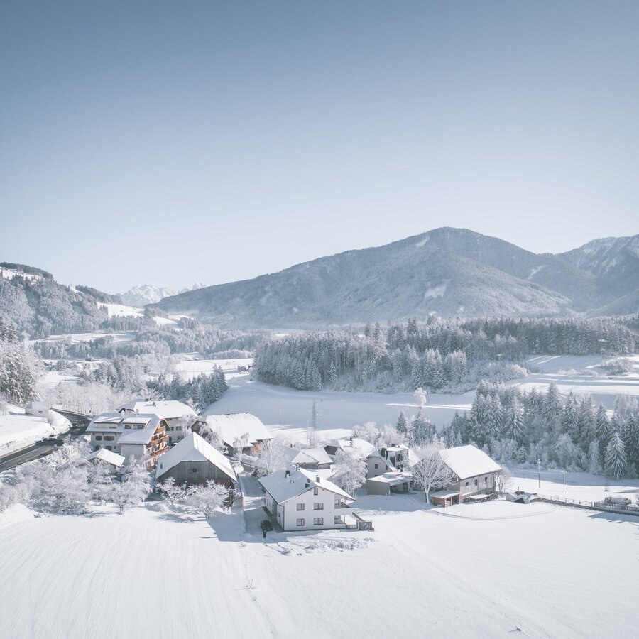
Utter idyll
Set in the midst of nature you will find a small hamlet of typical rural charm: counting slightly more than 100 inhabitants, the quiet town of Neunhäusern, Nove Case in Italian, constitutes the smallest fraction of the Antholz valley - with one interesting peculiarity: although it belongs to the valley’s municipality, it is located around 3 km from its entrance, in the Pustertal valley. This can be attributed to the fact that "Neuenhusen", as the hamlet was called back in the 12th century, used to be part of the municipality of Olang/Valdaora in the 19th century, until it was later relocated to the municipality of Rasen-Antholz. With its favourable location, Neunhäusern represents an excellent starting point to discover the towns and sights of both the Pustertal valley and Antholzertal valley, as well as for numerous leisure activities.
Highlights
Located right at the entry point of the Antholz cycle track and the Pustertal cycle path - which stretches from Franzensfeste/Fortezza in the Eisacktal/Val d’Isarco valley to the town of Innichen/San Candido in the area of the famous Three Peaks – Neunhäusern is a perfect base from which you can embark on exciting tours on your two wheels.
Map of Neunhäusern